Coastal Pakuranga Rotary Walkway
The Coastal Pakuranga Rotary Walkway is a scenic and high quality walk and cycleway. The entire distance is about 10.5km from Panmure Bridge to Halfmoon Bay but can be accessed from many varying points along the route – as per the attached GPS Interactive Map.
The walkway is suitable for all – except for some steep stairs near the Halfmoon Bay end of the walkway – near Clyside Drive. The track is mostly wide and paved – winding its way alongside the Tamaki River and its varied and many tributaries. Nearer Halfmoon Bay, the walkway uses a number of existing roads that are connected by small pathways. The Iconic Rotary Walkway GPS Map is very worthwhile in navigating these streets as it is not always clear where you should head next!
{More information on this track to be uploaded soon}
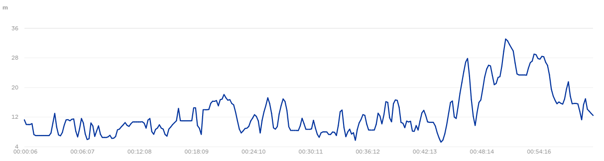
Rotary Walkway Elevation Map
I'm a family man who loves to enjoy the outdoors with my wife and 4 kids. I have spent years walking and running some of the wonderful tracks around Auckland and New Zealand .This website has been put together to help others enjoy the amazing array of walks we have in the Auckland Region. Further, we wish to honour the track-building work of my father-in-law, Hugh Willis who has spent thousands of hours since 1969 preserving, building and maintaining tracks on Auckland's North Shore.
Leave a Reply